Two decades of planning intelligence, statutory insight and spatial precision — delivered by a dedicated team of town planners, GIS analysts and land surveyors.
Bhoomi Land Use Planning Consultants is a specialist land use planning practice headquartered in Bhagalpur, Bihar. We were founded with a single objective — to help landowners, developers, industrialists and public agencies understand exactly what can be built, where it can be built, and how to obtain statutory clearance without costly delays. Our work begins with the land itself: its classification, its physical constraints, its legal status and its relationship to surrounding infrastructure.
Over the years we have prepared master land use plans, zonal development plans and layout designs for residential colonies, commercial complexes, industrial estates, warehousing hubs and institutional campuses across Bhagalpur district and neighbouring regions of Bihar and Jharkhand. Every plan we produce is grounded in the relevant municipal bye-laws, building regulations, revenue records and environmental guidelines, so our clients move into approvals with confidence rather than uncertainty.
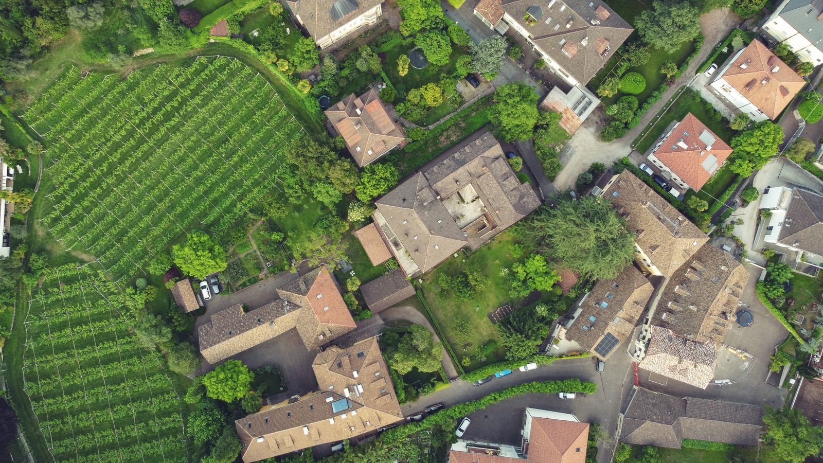
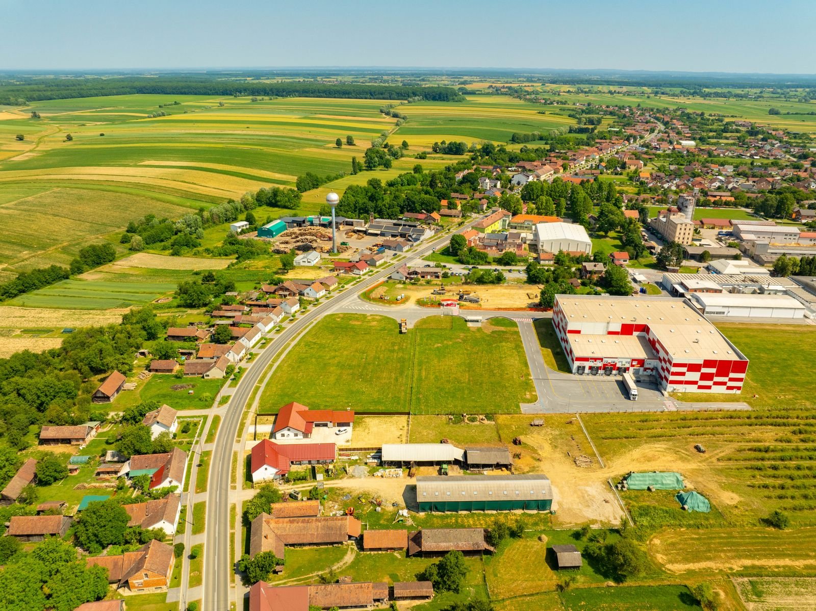
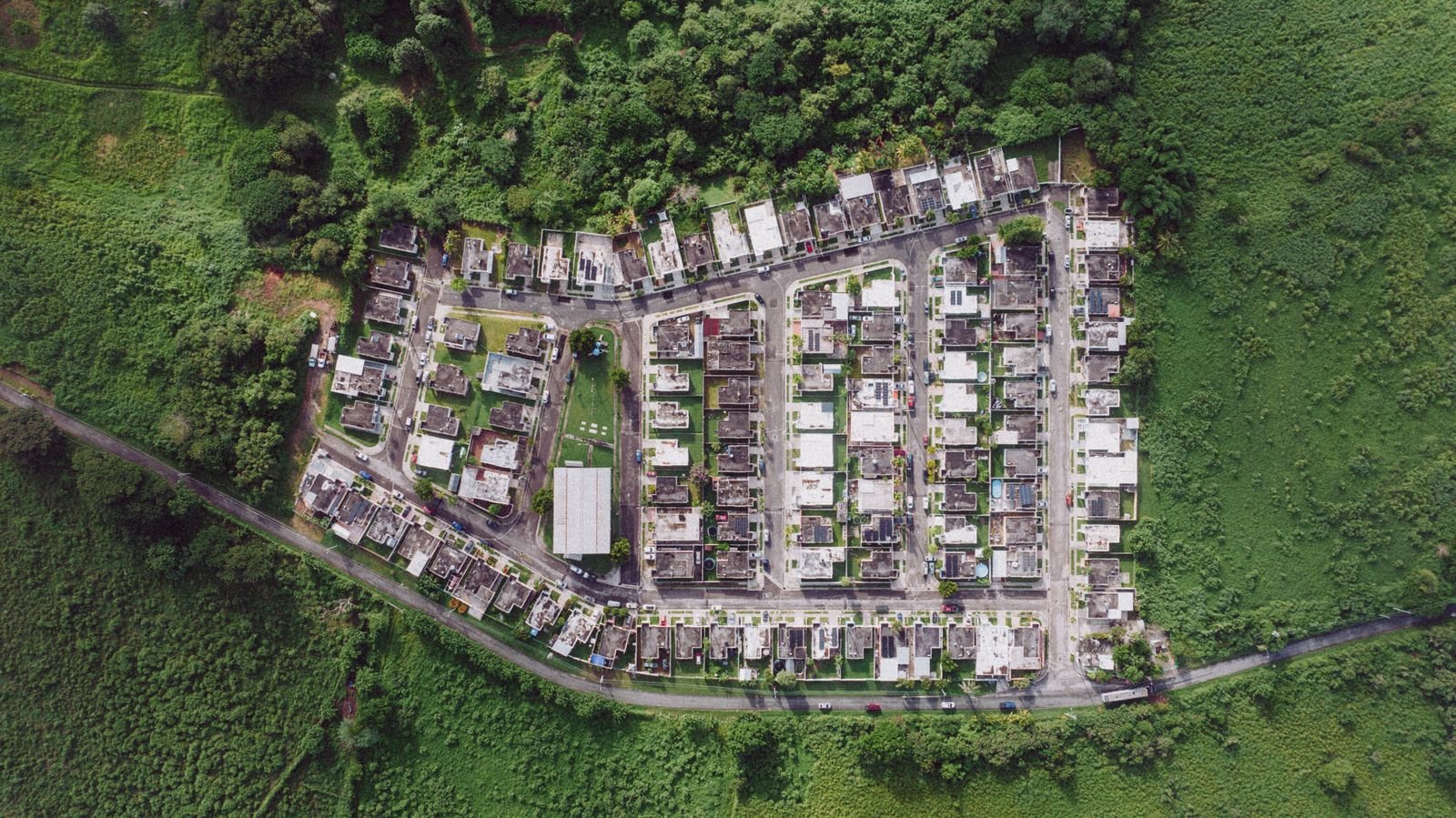
Our in-house GIS and remote sensing cell is one of the strongest in the region. Using high-resolution satellite imagery, drone surveys and cadastral overlays, we map slope, drainage, flood lines, road hierarchy, existing built-up density and future growth corridors. This spatial intelligence allows us to identify the highest and best use of a parcel before a single rupee is committed to construction or acquisition.
Because land matters in Bhagalpur are deeply local, we maintain active working relationships with municipal authorities, revenue officials, development authorities and empanelled architects. This lets us anticipate objections early, prepare documentation correctly the first time, and represent our clients effectively during technical scrutiny and public hearings.
Today our multidisciplinary team of town planners, land surveyors, GIS specialists, legal documentation experts and sustainability consultants serves a growing client base that includes real estate developers, agricultural landowners converting to non-agricultural use, industrial promoters, educational trusts and government departments. Our promise remains unchanged: honest advice, rigorous planning and measurable outcomes for every parcel of land we touch.

Long-range land use frameworks built on data.
Layer-wise spatial intelligence for every parcel.
Approval-ready documentation, first time right.
Balancing growth with environmental responsibility.
Nine specialist service lines covering the full lifecycle of land assessment, planning, approval and development — engineered for Bhagalpur's unique regulatory and geographic landscape.
01
We prepare comprehensive master land use plans that define residential, commercial, industrial, agricultural, recreational and institutional zones for a defined region. Our plans are built on demographic projections, infrastructure capacity studies and statutory development plan guidelines, giving authorities and developers a clear long-term roadmap.
Each master plan is delivered with land use tables, zoning maps, density calculations, phasing strategy and implementation notes — making it directly usable for municipal submission, funding applications and public consultation in Bhagalpur and nearby districts.
Learn More
02
Our zoning advisory service determines exactly which development activities are permissible on your land under the applicable municipal and development authority bye-laws. We reconcile revenue classification, ward-level zoning and proposed land use to remove ambiguity before you invest.
Deliverables include zoning verification reports, permissible use certificates, FAR and ground coverage computations, and a written opinion on variance or conditional-use possibilities that can strengthen your application.
Learn More
03
Using high-resolution satellite imagery, cadastral overlays and drone-captured data, our GIS cell builds multi-layered digital maps of your land holding. Layers cover slope, drainage, flood risk, existing structures, road access, utilities and surrounding land use.
Spatial analysis then reveals buildable area, optimal access points, constraint zones and growth potential — turning raw geography into a decision-ready planning intelligence report that saves both time and capital.
Learn More
04
Before purchase or development, we evaluate whether a site genuinely suits its intended use. Our feasibility studies examine soil condition, water table, access roads, power availability, market catchment, statutory restrictions and development cost estimates.
The final report ranks alternative sites, quantifies risk, and presents a clear recommendation with financial and planning logic — protecting promoters and investors from expensive misjudgements in Bhagalpur's fast-changing land market.
Learn More
05
Our licensed survey team conducts total-station and DGPS surveys to establish accurate boundaries, areas and levels. We cross-verify field measurements with revenue records, khatiyan details and mutation entries to eliminate boundary disputes.
Outputs include demarcation drawings, area statements, coordinate schedules and boundary pillar references — accepted by authorities and reliable enough to settle long-standing neighbour or inheritance disputes.
Learn More
06
We design residential townships, group housing layouts, commercial complexes and industrial estates with an emphasis on circulation, open space, utility corridors and phased infrastructure delivery. Every layout respects the applicable subdivision and building bye-laws.
Deliverables include plot layout plans, road and drainage networks, amenity distribution, EWS and open-space compliance sheets, and presentation drawings suitable for authority approval and marketing use.
Learn More
07
Converting agricultural land to non-agricultural use involves a precise chain of applications, revenue clearances and technical reports. We prepare the complete conversion dossier — land schedule, site plan, revenue extracts, and justification note — and track it through the approval process.
Our documentation team also assists with mutation, partition, lease drafting and title verification so that planning permissions rest on a legally clean and defensible land record.
Learn More
08
We assess how a proposed development interacts with its environment — drainage patterns, green cover, water bodies, air corridors and ecologically sensitive zones — and recommend mitigation measures that keep projects compliant and community-friendly.
Our sustainability inputs include rainwater harvesting planning, permeable surface strategy, green belt design and low-impact site grading, all of which strengthen clearance applications and improve long-term project reputation.
Learn More
09
Growing cities need planned expansion, not reactive sprawl. We study growth corridors around Bhagalpur, project future population and traffic demand, and propose road networks, utility corridors and service nodes that can absorb that growth efficiently.
Our infrastructure planning support helps public agencies and private developers align land use with water supply, sewerage, power, transport and social infrastructure — creating settlements that remain liveable for decades.
Learn MoreSite studies, survey camps, layout reviews and project sites across Bhagalpur and Bihar.


Short explainers on zoning, GIS mapping, land conversion and township planning — click any card to play.
Planning
GIS
Zoning
Survey
Layout
Growth
Real feedback from developers, landowners and institutions who trusted us with their land planning decisions.
"We had purchased a 4-acre parcel near Nathnagar and were unsure about permissible use. Bhoomi's team completed a zoning verification and GIS study within three weeks and gave us a layout that cleared municipal scrutiny on the first submission. Extremely professional."
"Converting our ancestral agricultural land for a commercial project felt impossible until their documentation team handled it. Every paper was prepared correctly, and the conversion order came through without a single back-and-forth. Truly a relief for our family."
"Our school campus expansion required a fresh layout with proper open space and fire access compliance. The team's drawings were meticulous and their site survey was spot on. The approval process that we feared would take a year finished in five months."
"Their site suitability study saved us from a very expensive mistake. They identified a drainage constraint on one plot we were about to buy and recommended a better alternative nearby. That single report protected our entire investment."
"I have worked with several planning consultants in Bihar, but the clarity and detail here is different. Their layout plans include drainage, road hierarchy and utility corridors — everything the authority asks for. Very reliable turnaround every time."
"We needed a warehousing layout with heavy vehicle circulation and proper zoning clearance. The team delivered a plan that satisfied every norm and also improved our usable area by nearly 8%. Their GIS mapping work was outstanding."
Answers to the questions landowners, developers and institutions ask us most often.
Share your land details and objectives — our Bhagalpur planning team will respond within one working day.
Land Use Planning Services · Bhagalpur, Bihar, India
Fill in the form below and our planning team will get back to you shortly.